Teacher Edition | View the map
Week of January 19, 2025
Right click and SAVE AS
to download the Google Earth file for this episode
Use free Google Earth software
to OPEN it, using File> Open.
Find more tech info here.
As Phoebe and Claude were being handcuffed and taken to the police car, Phoebe started to repeat the phrase, "Veritas, Veritas, Veritas." Geo and I had no idea what Veritas meant. So we decided to still follow the police car to the station. We learned a fascinating piece of information at the station - the Equators sold Dewey! Holy Idaho!
Phoebe also said they never wanted to hurt Dewey and always intended to return him. But they couldn't pass it up when they were offered such a large sum of money to sell Dewey. The company that bought Dewey promised to take good care of him and return him to the USA as soon as they were finished with him. We had no other information. That was all that the police would tell us.
So we called Uncle GT. He was already aware that the Equators were arrested and that they had sold Dewey. We told Uncle GT that Phoebe had mentioned the word Veritas. We wondered if that was the company's name or the individual that Dewey had been sold to. Uncle GT said that we should hang tight in New Zealand and he would look into Veritas and find out where we should go next. So we have been in New Zealand for the past 2-days waiting to hear back from Uncle GT. We will update our blog with more information as soon as we know where we are going next on our mission to find Dewey: the truth-sniffing dog.
- Meri
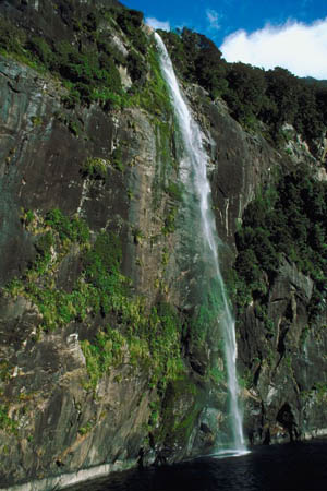
This picture shows one of the most famous tourist attractions in New Zealand - Milford Sound. We attached a link to learn more information about Milford Sound.
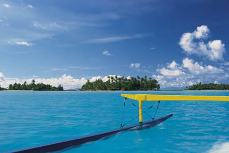
Look at the beautiful waters of New Zealand.

Here is the picture of the Equators at the convention center (just incase you missed it last week).
Discover New Zealand
This link provides more information about the famous Milford Sound (and beautiful pictures).
During our flight, we are watching a cool video all about Australia. Did you know that Australia borders two oceans (the Indian and Pacific oceans)? How can you tell when you step out of the Indian Ocean and into the Pacific Ocean? Do you think there is some boundary line? Or do you think their waters just flow into one another? Australia is over 7,600,000 square kilometers in size. It is a little bit smaller than the continental United States. The continental United States includes the 48 states without Alaska and Hawaii. The map coordinates for Australia are 27 00 South and 133 00 East. So do you think that Australia is north (above) or south (below) of the equator? Is Australia in the southern hemisphere or the northern hemisphere? Look at the map and see if you can figure it out.
- Geo
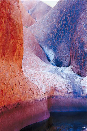
This pictures shows Ayers Rock. This cool sandstone rock formation is near Alice Springs. I wish I could visit Ayers Rock.
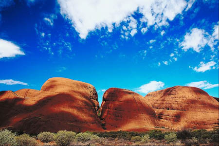
Here is an amazing picture of the desert area around Alice Springs.
Map of Australia
Here is a map of Australia. Can you find Alice Springs? What other large cities do you see in Australia? Veritas has more than one office in Australia, but their main office is in Alice Springs.
World Map
The map coordinates for Australia are 27 00 South, 133 00 East. Do you think that Australia is north (above) or south (below) the equator? Is Australia in the southern hemisphere or northern hemisphere? Click on the \"map\" view on the top right corner for a clearer view of the equator.
Can you figure out which continents Dewey has already visited?
Australia is surrounded on all sides by water, making it an island. 40% of the climate of Australia is arid. This means that it is a dry climate, not receiving much rainfall (much of this area is covered by sand dunes). The southeast and southwest corners of Australia are both temperate. A temperate climate provides warm summers and mild winters. The warmest month is January and the coldest month is July. This is because in the southern hemisphere, winter is from June through August, and summer takes place from December through February. I guess they don't have a white and snowy Christmas.
The northern part of Australia has a tropical climate. A tropical climate typically has high temperatures and a decent amount of rainfall. The northern part of Australia even has rainforests. Holy Idaho! This country has some diverse climates. The video we found online just told us about the "Fremantle Doctor." (Our airplane has free WiFi!) The city of Perth (located on the western coast of Australia) is known for its strong sea breeze. This invigorating wind has been named the "Fremantle Doctor." This breeze is one of the most consistent winds anywhere in the world. Some of Australia's other "wild" weather includes cyclones along the coastal cities, forest fires, and even severe droughts.
The video also taught us a lot of other information about Australia. Australia doesn't have a dominant religion, although over 65% of Australians are Christian, Anglican, or Catholic. Holy Idaho! Australia is rich in natural resources. In Australia, there is natural gas, petroleum, bauxite, coal, diamonds, gold, silver, tin, iron ore, copper, nickel, lead, zinc, uranium, tungsten, and mineral sands. I wonder what all of those resources are used for. Okay, we are getting ready to land in Alice Springs. We will update our blog tomorrow.
- Meri
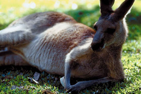
I wish we see some kangaroos in Australia!
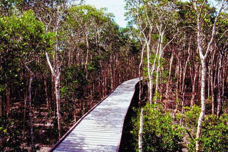
This picture shows an example of the tropical areas of Australia. I think that bridge is so cool!
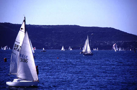
The beautiful waters of Sydney, another beautiful city in Australia. Maybe Dewey will get to visit Sydney too.
Text Message from 1-555-837-4827: YDKM. U2 R wrong. Go 2 - 5 00 S, 140 00 E. Hehehe .
There are so many mysteries to solve in this text. And how do we even know if they are telling the truth or tricking us? I guess this is our only lead, so we better follow the clues.
First, the message came from a 555-number. So we can't really trace the location. But Uncle GT thinks that 837-4827 stands for something. Take a look at the attached keypad and see if you can make anything out of the telephone number. An eight could mean T, U, or V, and so on. We are going to work on this too.
We also need help figuring out where 5 00 S, 140 00 E is located. We know that they are map coordinates, but for where? Can you look at the map and help us determine where to go next? Do the map coordinates represent Tonga, Papua New Guinea, or Palau? Remember that the 5 00 S represents the line of latitude, and the 140 00 E represents the line of longitude.
- Geo
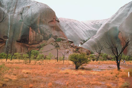
This picture shows the arid (dry) area around Alice Springs. Can you believe that 40% of the Australian climate is arid and dry?
Telephone Keypad
Use this telephone keypad to investigate the Caller ID telephone number. Does 837-4827 stand for (or spell) anything?
Map of Oceania
This map provides a clear view of the lines of latitude and longitude in Oceania. We are trying to find the map coordinates of 5 00 S, 140 00 E. Can you help?
Kangaroo Sanctuary
Check out the Kangaroo Sanctuary.
arid - a way of describing a climate that is dry and does not receive much rainfall
cardinal direction - a term used to describe all four primary directions (north, south, east and west).
equator - an imaginary line on the earth's surface that is positioned halfway between the north pole and the south pole. The equator divides the earth into the northern hemisphere and the southern hemisphere.
hemisphere - half of a sphere.
latitude - the lines that run across (east and west) a map. Lines of latitude measure degrees via north or south. The equator is at 0 degrees latitude.
longitude - lines that run up and down the map (north and south). These lines are used to measure degrees east or west from the prime meridian. The prime meridian is located at 0 degrees longitude.
map coordinates - numbers that provide the exact location of a specified country or other area. The coordinates provide the degrees of longitude and latitude. Coordinates help people locate specific areas on a map.
natural resources - any substance that is made by nature and used to enhance the lives of living things. Some examples of natural resources include sunlight, minerals, soil, and water.
northern hemisphere - the half of the planet Earth that is north of the equator. The northern hemisphere contains 90% of the human population and most of the land on the Earth.
southern hemisphere - the half of the planet Earth that is south of the equator. The southern hemisphere contains all of Antarctica and Australia, most of South America, and part of Asia and Africa.
temperate - a climate that provides warm summers and mild winters. The temperatures do not typically get extremely hot or cold.
tropical climate - a climate typically having high temperatures and a decent amount of rainfall. Tropical climates are usually located between the Tropic of Cancer and the Tropic of Capricorn, closer to the equator than cooler, temperate climates.
Back to top
Grade 3-5: Knows the basic elements of maps and globes (title, legend, cardinal, scale, grid, meridians, time zones, etc.).
Grade 3-5: Uses map grids (e.g., latitude and longitude or alphanumeric system) to plot absolute location.
Grade 6-8: Understands concepts such as axis, seasons, rotation, and revolution.
Grade 3-5: Knows major physical and human features of places as they are represented on maps and globes. Knows how to read different maps: road, relief, globe, etc..
Grade 3-5: Knows the approximate location of major continents, mountain ranges, and bodies of water on Earth.
Grade 6-8: Knows the location of physical and human features on maps and globes (e.g., culture hearths such as Mesopotamia, Huang Ho, the Yucatan Peninsula, the Nile Valley; major ocean currents; wind patterns; land forms; climate regions).
Grade 3-5: Knows different methods to measure data (miles, kilometers, time, etc..).
Grade 6-8: Knows the human characteristics of places (e.g., cultural characteristics such as religion, language, politics, technology, family structure, gender; population characteristics; land uses; levels of development).
Grade 3-5: Knows the characteristics of a variety of regions (climate, housing, religion, language, etc..).
Grade 3-5: Knows the physical components of Earth's atmosphere (weather and climate), lithosphere (land forms such as mountains), hydrosphere (oceans, lakes and rivers), and biosphere (vegetation and biomes).
Grade 3-5: Knows natural hazards that occur in the physical environment (floods, tornadoes, earthquakes, etc..).