
Week of February 11, 2024 | View the Map
Right click and SAVE AS
to download the Google Earth file for this episode
Use free Google Earth software
to OPEN it, using File> Open.
Find more tech info here.
Thursday
Detroit is actually the largest city in the state of Michigan. It is a port city on the Detroit River. It seems like a lot of large cities are also port cities. Why do you suppose that is? Holy Idaho! Did you know that Detroit is the only city in the United States that is due north of Canada? Detroit is north of Windsor, Ontario (Canada). That is crazy. I always thought that Canada was north of the United States, but Detroit is actually north of part of Canada. Look at the map! Did you know that Canada was on the same continent as the United States? The continent is North America. Do you know the third-largest continent in the world is North America? What do you think is the largest continent in the world?
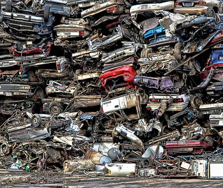
Detroit is known as the automobile capital of the world but also for inventing the "Motown" sound. So they are well known for their music also. We are going to see if we can find a sample of Motown music to put in our blog. There are a TON of automobile manufacturers here in Detroit. I read there are over 4,000 factories in Detroit. I wonder if those are all automobile factories. Either way, that is A LOT of factories! Detroit is known as the home to the "Big Three" automobile companies: Stellantis (formerly Chrysler), General Motors, and Ford. Some people call it a "Rust Belt" city. Where do you suppose that term came from?
In 2009, the United States experienced a recession in the economy. Have you ever heard the word recession? Simply put, it is a decline in the economy, so fewer things are sold, less is bought, jobs are often lost, and trade with other countries slows down. In April of 2009, Detroit had an unemployment rate of around 13%. By July of 2009, the unemployment rate was up to 28%! Holy Idaho! I guess that means that 28 out of every hundred of the people in Detroit didn't have jobs. That is a lot of people; basically, 1 out of every 4 people didn't have a job. What happens to businesses when people around them do not have jobs? Although Detroit has seen a lot of improvement since then, it still struggles to catch up with other larger cities.
It is really cold up here in Detroit at this time of the year. We have even seen some snow, which is nice because we don't see that in Phoenix. I am glad we ran home for a day to get some winter clothing! The climate in Detroit is known as a continental climate. This climate experiences all four seasons and is found in the interior (the middle) of major continents, away from the ocean. Winter is generally long and cold. Detroit experiences rain, snow, freezing rain, and sleet in the winter. The average snowfall is around 45 inches. Holy Idaho! That is nearly four feet of snow! Summer is warm and humid. Fall and Spring are both moderate. They have a very different climate in Detroit than we have in Phoenix.
- Meri
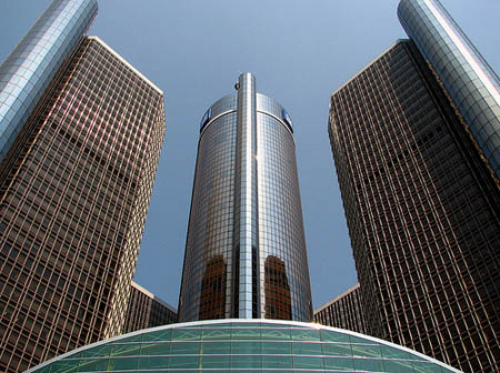
Detroit during the day
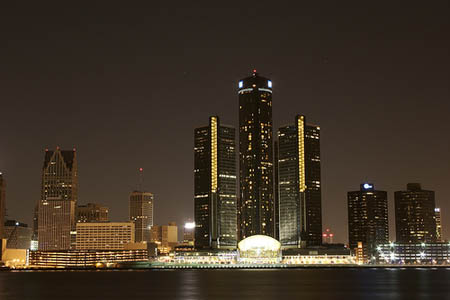
Detroit during the night
Video of Motown Music
If your school allows YouTube, check out this site that shares several pieces of Motown Music.
Map of Detroit (and Canada)
Can you figure out the cardinal direction we traveled from Phoenix to Michigan? What states do you think we flew over on our flight?
Friday
Email from Pandora: Hey guys, do you miss me yet? I wanted to tell you that a man named Louie called here for you. He thought you were still at home. He told me to tell you that he spoke to GT and trusts you now. He said he was sorry about the way he acted after he saw you with Mike. Who is Mike?
This is excellent news. Now hopefully Louie will call us soon. If not, I guess we can call GT to get his cell number again. I hope we can meet up with him in the plain states.
- Geo
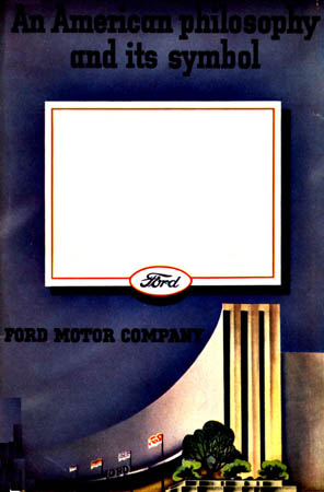
A postcard from Ford Motor Company

Friday Night
- Meri

The fog today.
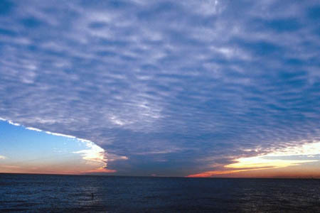
Beautiful picture of the water surrounding Detroit.
Map of Great Plains
This map shows the Great Plains states, but doesn\\\'t have any state names listed. It gives you a great visual of where the great plains are located. If you need help, refer to the map below that includes the names on the map.
Map of the USA
Here is a map with all of the names of the states, if you need help to read the other map (of the Great Plains).
Vote Here:
106